GANTerrainGen::overview();
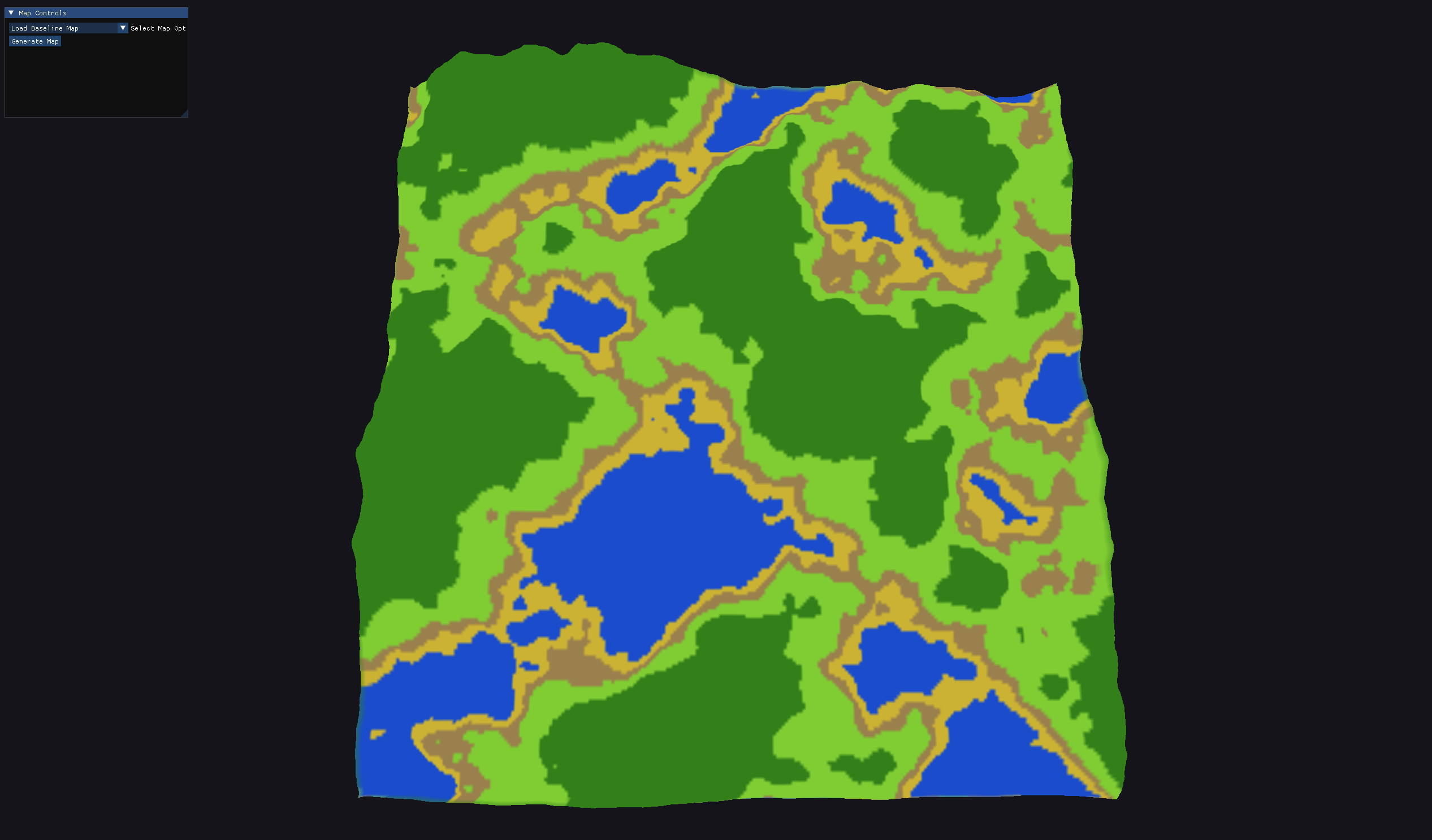
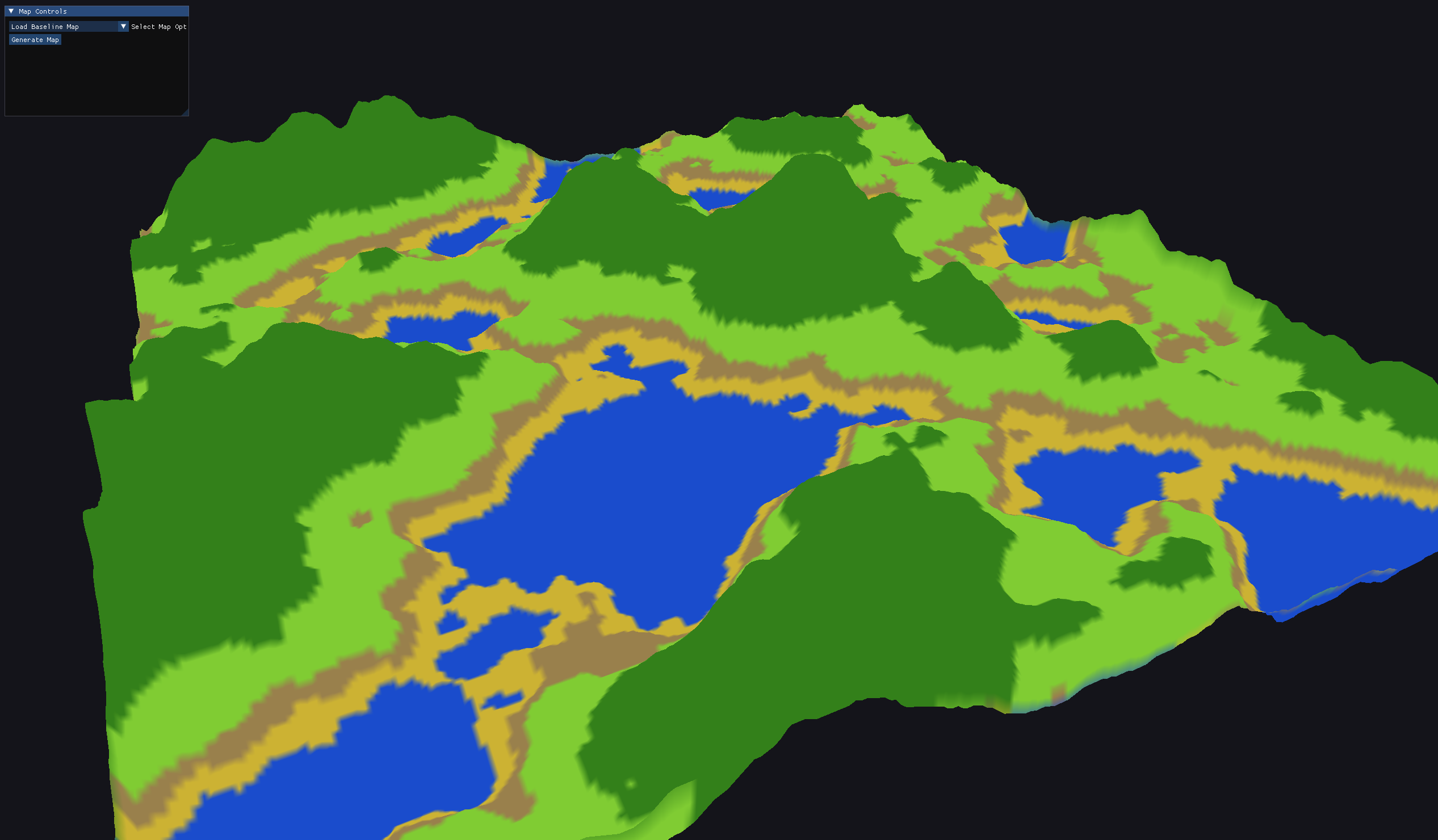
A procedural terrain generator I built in Python and PyTorch. A DCGAN trains on real satellite data (Copernicus 30m elevation and ESA WorldCover 10m land cover) to generate 256×256 terrain maps. I benchmark it against a Perlin-noise fBm baseline I wrote from scratch, scoring how close the generated elevation distribution gets to real terrain.
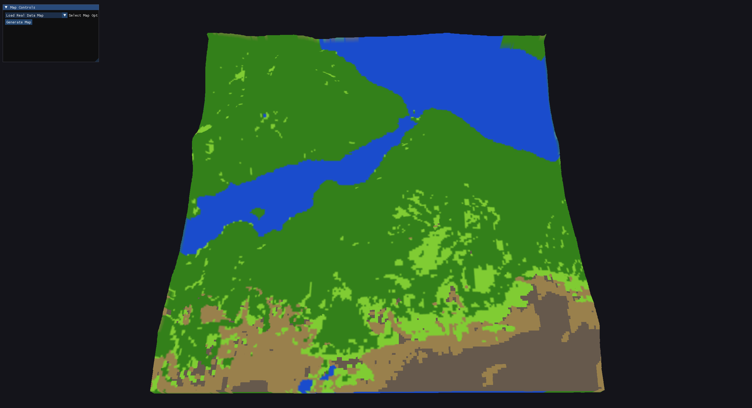
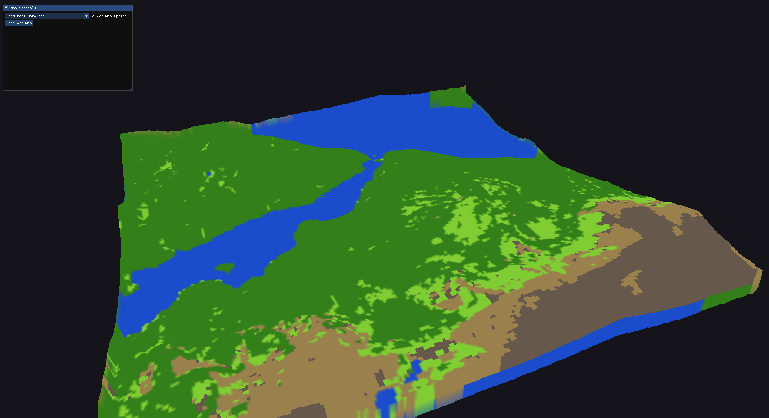
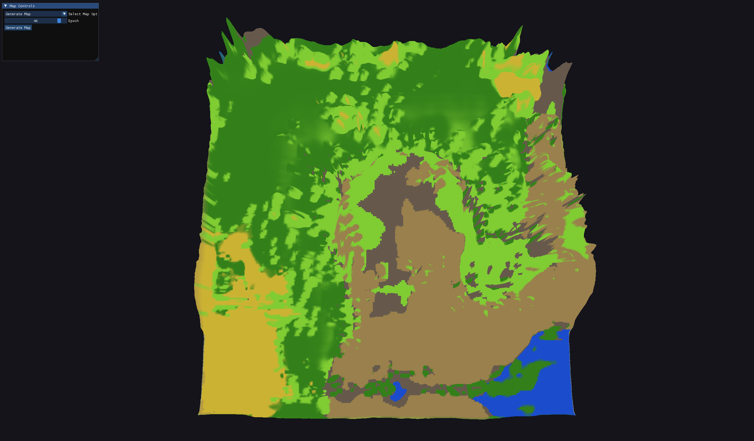
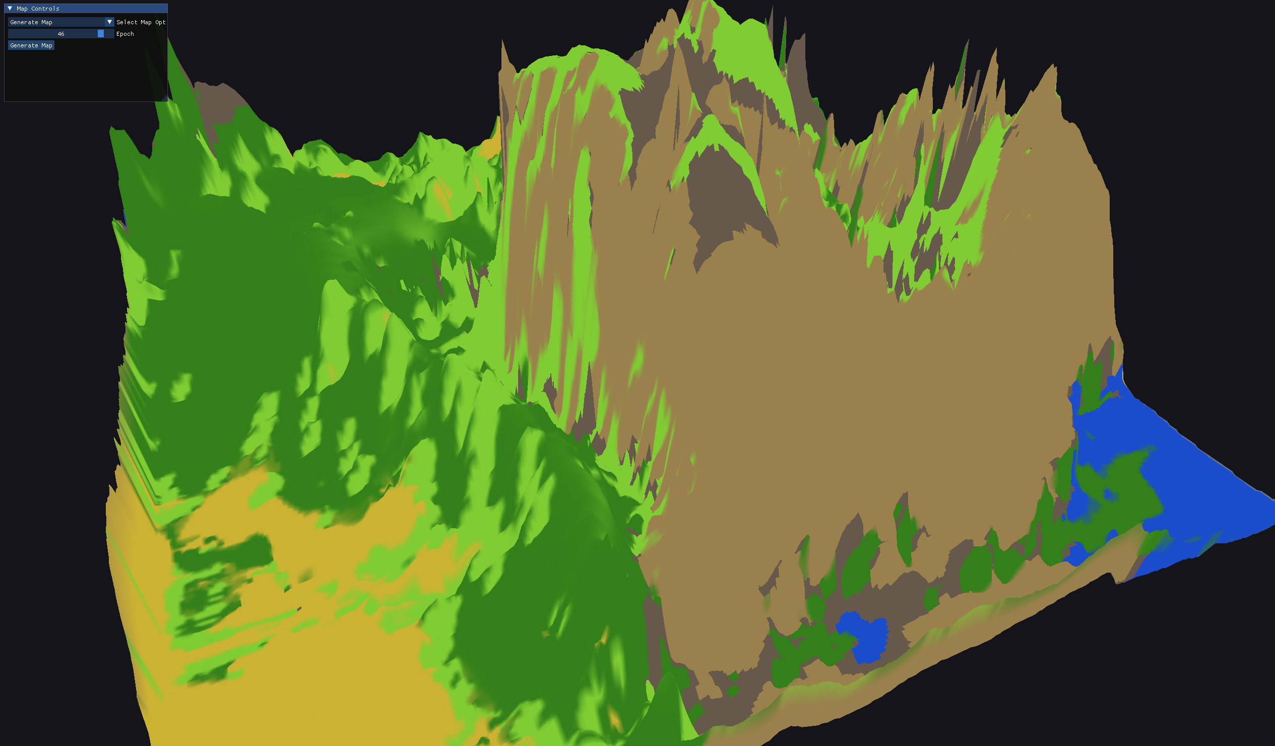
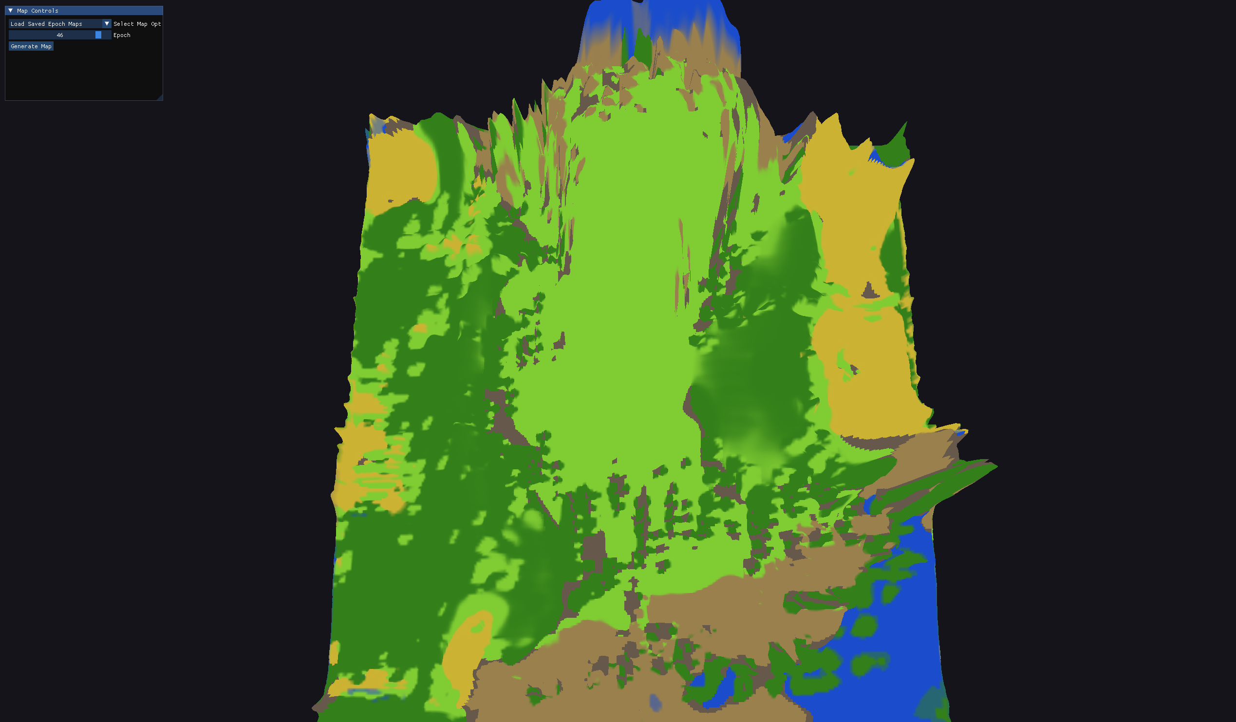
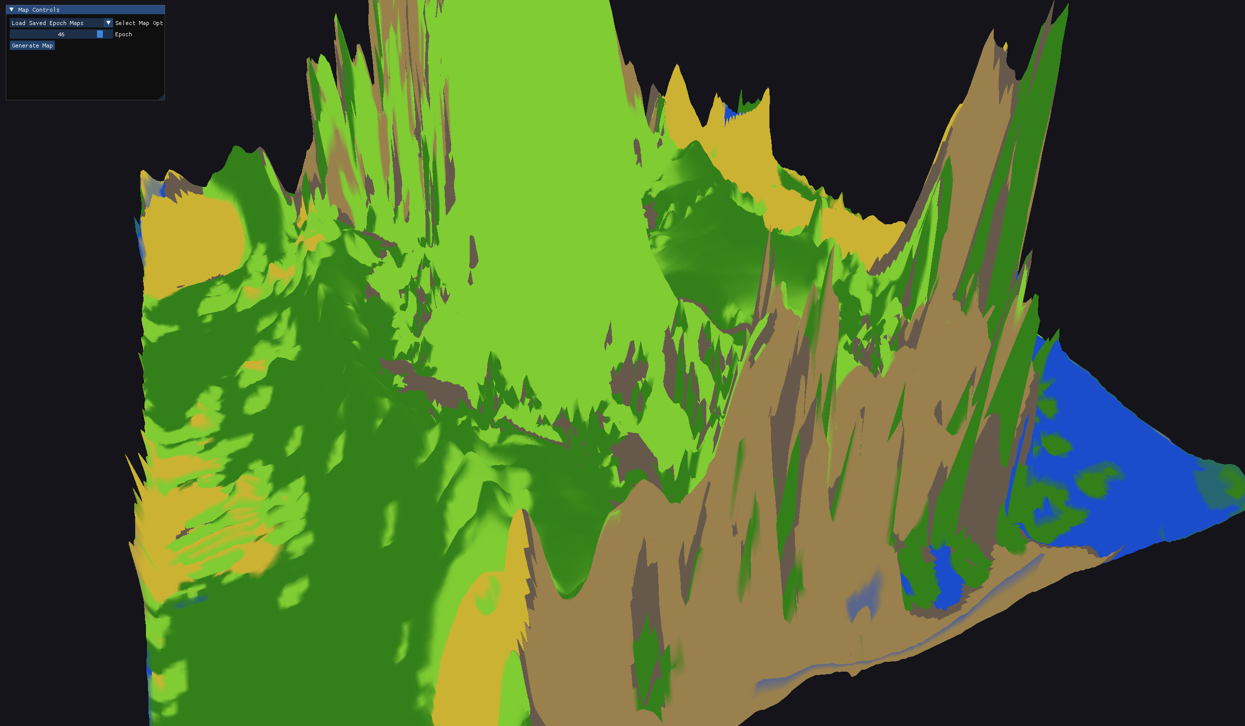
To see what the model was actually producing, I built a real-time C++/OpenGL viewer that renders any training checkpoint as 3D terrain, displacing a flat mesh in the vertex shader from the height map. An ImGui menu flips between real, baseline, and generated maps live, which made the problem obvious: early terrain came out far too spiky to walk on.
I added two penalties to the generator's training: a smoothness term (total variation plus curvature on the elevation) and a slope limit that only punishes elevation differences too steep to cross, keeping the terrain walkable. Walkability is the goal because eventually I want to drop RL agents onto these maps and have them generalize movements around terrain.